Brain power is still best for calculating weather, wind and tidal information, says Dick Everitt
Navigation instruments are only tools. They can measure, but they can’t think! In order to plan ahead we’ve got to use all the information available to us and then distil it down in our brains.
Top racing navigators have very sophisticated instruments and computers, but still make subtle adjustments to get into a favourable position to take advantage of predicted wind shifts.
As far as I know there’s no onboard computer that can integrate weather forecasts, tidal information, wind instruments and GPS to give you the definitive course to get home before the pubs shut!

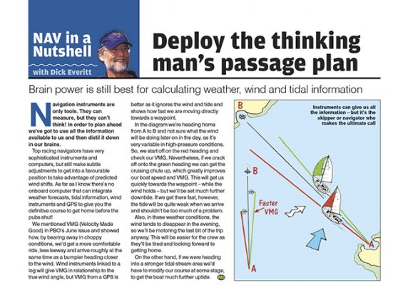
Instruments can give us all the information – but it’s the skipper or navigator who makes the ultimate call
We mentioned VMG (Velocity Made Good) in a previous Nav in a Nutshell article and showed how, by bearing away in choppy conditions, we’d get a more comfortable ride, less leeway and arrive roughly at the same time as a bumpier heading closer to the wind.
Wind instruments linked to a log will give VMG in relationship to the true wind angle, but VMG from a GPS is better as it ignores the wind and tide and shows how fast we are moving directly towards a waypoint.
In the diagram we’re heading home from A to B and not sure what the wind will be doing later on in the day, as it’s very variable in high-pressure conditions.
So, we start off on the red heading and check our VMG. Nevertheless, if we crack off onto the green heading we can get the cruising chute up, which greatly improves our boat speed and VMG.
This will get us quickly towards the waypoint – while the wind holds – but we’ll be set much further downtide. If we get there fast, however, the tide will be quite weak when we arrive and shouldn’t be too much of a problem.
Also, in these weather conditions, the wind tends to disappear in the evening, so we’ll be motoring the last bit of the trip anyway. This will be easier for the crew as they’ll be tired and looking forward to getting home.
On the other hand, if we were heading into a stronger tidal stream area we’d have to modify our course at some stage, to get the boat much further uptide.
This Nav in a Nutshell was published in the Summer 2012 issue of PBO. For more useful archive articles explore the PBO Copy Service.
Essential checklist for planning a passage
PBO contributor Sticky Stapylton's handy guide to planning and making a passage
Nav in a Nutshell: What is a transit and how are they used in navigation
Lining up a pair of appropriate land features or navigation marks can help keep you safe, as Dick Everitt explains
Nav in a Nutshell: Navigate by ‘feel’ using an echo sounder
The ‘ping’ is king: You can navigate by ‘feel’ over the seabed in adverse conditions by using an echo sounder…
Nav in a nutshell: Navigating at night
There’s no need to be in the dark if your preparation is thorough and easy to understand, says Dick Everitt…
Nav in a nutshell: Electronic charts
Dick Everitt assesses the differences between raster and vector charts when deciding on which chart plotter to buy
Planning and undertaking an Atlantic crossing
Thinking about an ocean passage? Here's some top tips from Atlantic Rally for Cruisers (ARC) sailors...
From dinghy sailing to the ARC Channel Islands Rally
Former dinghy sailors Judy and Jon Hilton bought a yacht last October and will be using the ARC Channel Islands…
Best forward-looking sonar: 5 units tested
How effective is forward-looking sonar at flagging up shoals and obstacles on the seabed? David Pugh compares the findings from…
Cross-Channel cruising with a pet cat
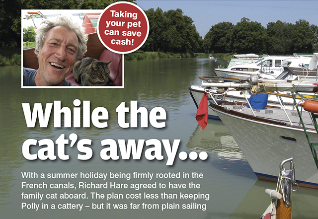
With a summer holiday being firmly rooted in the French canals, Richard Hare agreed to have the family cat aboard.…
Passage planning? Be flexible!
Look at the other options when making your plan
Becoming a Day Skipper
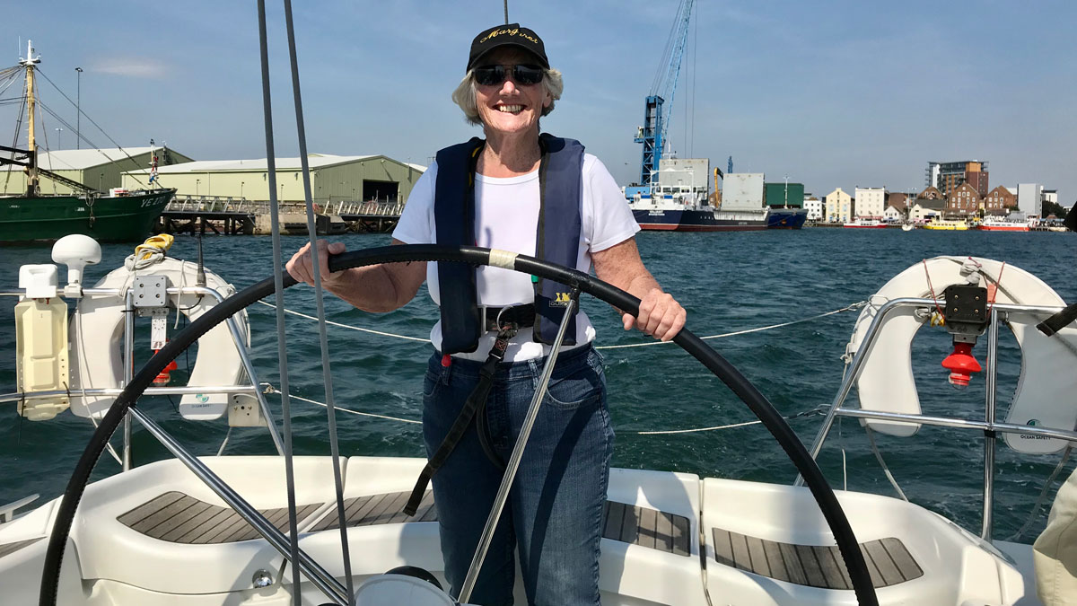
From classroom conundrums to night-time navigation, dinghy instructor Margaret Norris decides to give big boats a go
Novice Day Skipper sets sail
Newly-qualified RYA Day Skipper Laura Hodgetts charters a yacht around the Sporades islands and the Gulf of Volos
French skipper and pet hen complete gruelling Northwest Passage
After 32 days, 3400 miles (6000 km) struggling against the cold, hunger, and fatigue, French skipper Guirec Soudée and his…


