
Cruising guide author Robert Bailey explains the importance of not being completely dependent on electronic chartplotters and why it is still vital to make a passage plan
Although there is a legal requirement (Safety of Life at Sea V Regulation 34) to make a passage plan, the main reason for one is for the safety and comfort of the crew, writes Robert Bailey.
The greatest challenge facing any skipper is to carry their crew willingly with them.
It’s vital to understand your crew’s strengths and limitations.
Successfully executing a passage plan is one of the most rewarding aspects of sailing.
Most of the time you are not just interested in a single passage but a cruise, and it is necessary to look at a ‘cruising plan’.
Before Decca and Global Positioning System (GPS), the essential part of the passage plan was to understand how the navigator would plot their position regularly during the passage.

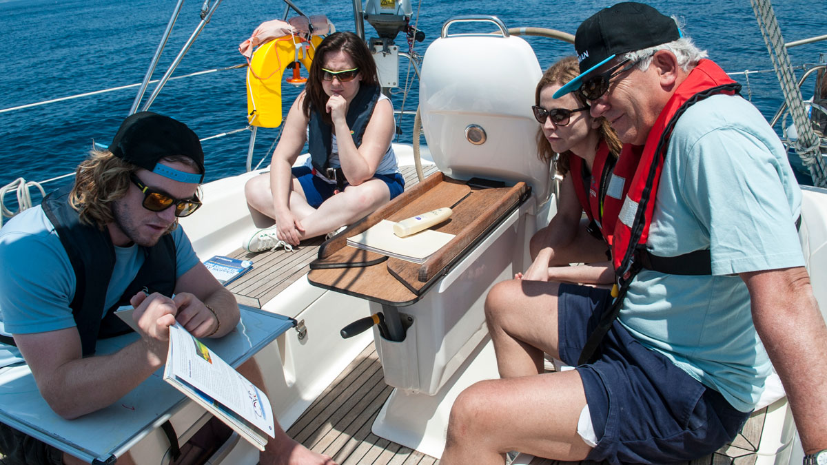
Robert Bailey at the chart table on his Baycruiser 23
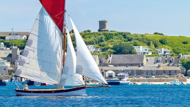
Crossing the Channel involved estimated positioning and a pre-dawn approach on the French coastline to pick up the lighthouses.
The echo sounder was used to pick up Hurd’s Deep to confirm the distance off if only one lighthouse was visible.
A picture of where the boat was, the forces acting on it, and any hazards needed to be available to the navigator. A passage plan was essential.
Today’s chartplotters are enormously powerful in the amount of information presented and the understandable way it does it.
What can be easier than a picture of a boat on a chart with a line pointing in the direction of travel?
The ease with which it’s available has often meant that the other aspects of navigation are left unexplored, to the detriment of the passage plan.
It has been suggested (paraphrasing a certain Helmuth von Moltke) that ‘No plan survives contact with the enemy’.
Don’t take that as an excuse not to make one.
It emphasises that the plan should answer both the ‘how’ and the ‘what if’.
You’ll go a long way to satisfying the crew’s needs by answering the second point.
Passage plan creation
Like all journeys, a voyage has the following stages:
- Deciding on an objective
- Gathering information
- Making a passage plan
- Undertaking the passage
- Monitoring progress
An objective could be: ‘To sail from the Solent to Weymouth’. A better one would add conditions about limiting weather, and length of any single passage, based upon the capabilities of the boat and crew.

Once the rough plan works, distil it into a suitable pro forma
Gather information and plan in tandem. There is nothing more frustrating than making a plan in a logical sequence only to find that the last piece doesn’t work.
Make a passage plan roughly first, ideally using a physical chart, then identify:
- Ports, anchorages and distances between them (rounded to the nearest multiple of the expected boat speed)
- Possible hazards, local regulations, high water times, changes in tide direction and gates (see below). If the plan still doesn’t work or the timing is too tight to execute, consider its limitations. Often a “gate” will be stopping progress.
Potential gates include:
- Adverse tide or temporary overfalls.
- A bar precluding entry to a harbour or anchorage
- Lifting bridge or firing range times
- Sunset.
Once acknowledged, solutions can be explored. Distances can be reduced by breaking the passage; a berth or anchorage on the seaward side will eliminate a bridge lift.
Avoid a firing range by choosing a weekend for the passage.
To finalise the plan, add these details:
- Waypoints with courses to steer and distances between them
- Landfalls and aids to navigation, particularly for overnight passages
- Watch system
- Preferred/alternative pilotage plans
Finalising the cruising plan
- List of dates with destinations, including which will be used for the resupply of water, provisions, and fuel (Note that knowledge of usage is required)
- Rest days, days lost to bad weather and possible activities n Times of departure for each day, high water, the tidal range for the local port, and estimated passage length in hours
- Ports of refuge on passage
- Datum port HW time with a tidal atlas filled in for the duration of the cruise, providing ready access for replanning
- Indication of night passages
- ‘What-ifs’ and alternative destinations.
When to passage plan
Tide times are known years in advance, and some coastlines lend themselves to particular tidal states and times.
For example, you may not want a holiday where the first half involves a pre-dawn start each day.
By sketching out plans well in advance, the potential timings of a cruise can be optimised.
The weather on the day could, of course, have other ideas.
UK Southwest Coast sailing advice
My new cruising guide Southwest Passage Plans has been a labour of love since June 2018.
Some key advice for this region:
Shelter and Supplies: Poole, Plymouth and Falmouth are the primary ports, with easy access, good facilities and transport links for crew transfers and unattended boat mooring. Lyme Bay, Mount’s Bay (west of Lizard Point), and the Isles of Scilly have shelter, but restricted access due to wind direction and strength. A heightened awareness of medium-term weather conditions is needed here.
Distances: Compared to the Solent, distances between harbours are greater, and assistance from the tide is less. Although there is generally a swell, there is not the ‘Solent Chop’. The longer distances can put a greater burden on fuel, water and battery usage.
Hazards: Most natural hazards are close to shore, making navigation easier. Fishing activity is abundant but generally, commercial and pleasure traffic is reduced once clear of the major harbours, making longer passages more relaxing.
The many marine farms in sheltered bays in the western part of this coastline can lie up to five miles offshore, marked by lit yellow buoys up to one mile apart, so these precautions should be taken:
- Update charts before departure
- Heed Notice to Mariners issued through Navtex, VHF and harbour authorities
- Brief the crew that sighting a single yellow light may mean more nearby Significant headlands will be passed. They all present the same characteristics:
- Stronger tides (sometimes with overfalls) that turn earlier inshore
- Increase in wind speed
- A change in wind direction.
All could mean an increased crew workload. Sail plan adjustments should be made before conditions change.

Robert Bailey is co-author of Cruising Galicia and a former Yachtmaster Instructor. His latest guide, Southwest Passage Plans, costs £26 and is distributed through boatfolk offices in the Solent and Dorset areas with profits going to the Sea Scouts. Order by emailing rb_swpp@outlook.com or online at Amazon.co.uk
A well-timed watch change can mitigate the worst aspects with more resources to hand.
There is military activity in this region. Land-based (Army) activity is detailed on the www.gov.uk website and found by searching for the range’s name.
Naval activity is controlled by Fleet Operational Sea Training (FOST) on 01752 557550 (Ch74).
Information is also relayed on NAVTEX as GUNFACTS and SUBFACTS. These may be accessed through special equipment or via www.navtex.lv.
Local harbourmasters will have up-to-date information.
If in proximity to naval gunnery ranges, listen to VHF radio traffic and follow the instructions given.
If you suspect the presence of submarines, ensure you show the correct navigation lights at night (ideally low down) and that a depth sounder or engine is proclaiming your location. Contact FOST for any queries.
Continues below…

Blind navigation: how to find your way in restricted visibility
Is blind navigation a foggy notion for Yachtmasters, or a useful seamanship skill? PBO investigates
First-time boat skipper: tips for your first voyage in charge
Skippering a yacht for the first time is a pivotal experience; one that's rewarding if done right. Rupert Holmes explains…

DIY chartplotter for £200: how to build one at home
John Calton builds his own 10in touchscreen DIY chartplotter with GPS and AIS for a fraction of the cost of…

Crossing the Channel: 10 factors for a trouble-free voyage
What could go wrong while crossing the Channel? Ken Endean considers possible difficulties
For more boating news, features and expert advice, take out a PBO subscription
A subscription to Practical Boat Owner magazine costs around 40% less than the cover price.
Print and digital editions are available through Magazines Direct – where you can also find the latest deals.
PBO is packed with information to help you get the most from boat ownership – whether sail or power.
-
-
-
- Take your DIY skills to the next level with trusted advice on boat maintenance and repairs
- Impartial in-depth gear reviews
- Practical cruising tips for making the most of your time afloat
-
-
Follow us on Facebook, Instagram, TikTok and Twitter